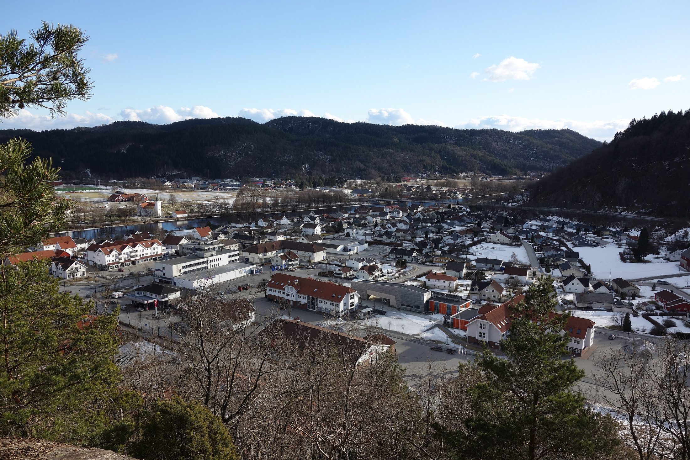
Photos
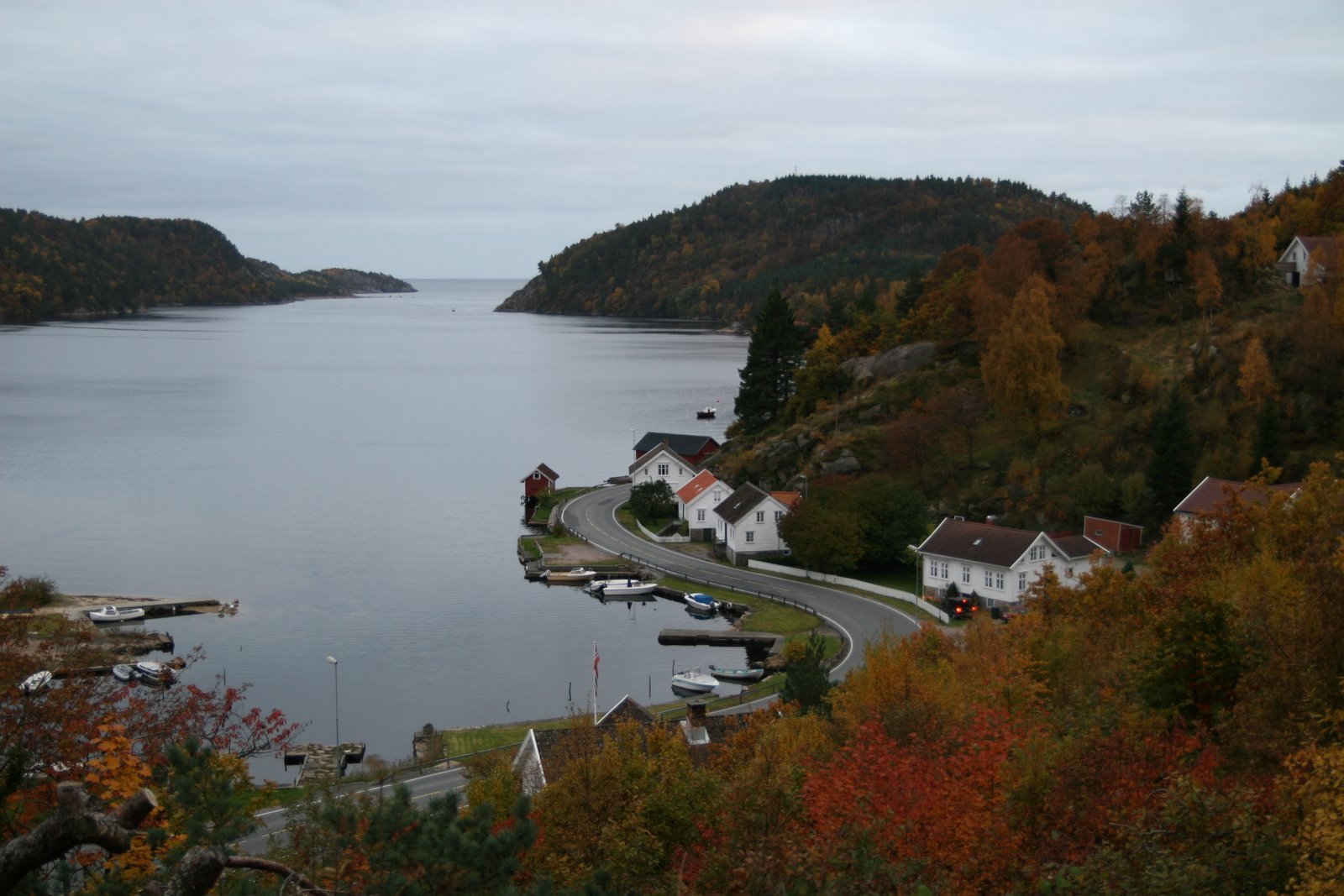
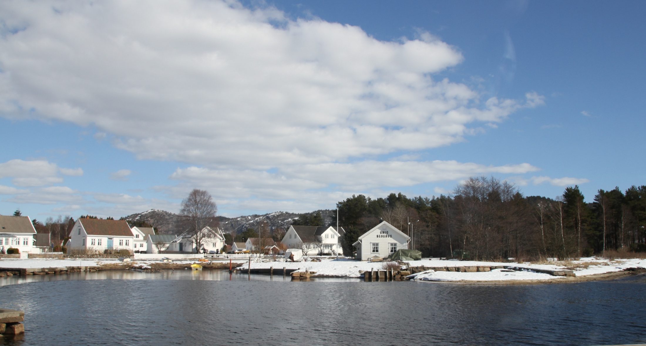
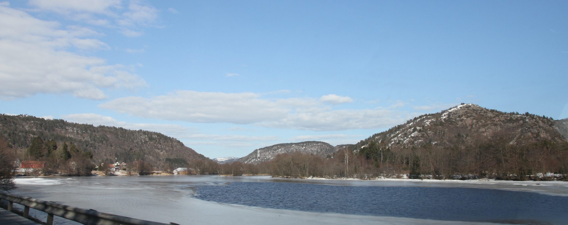
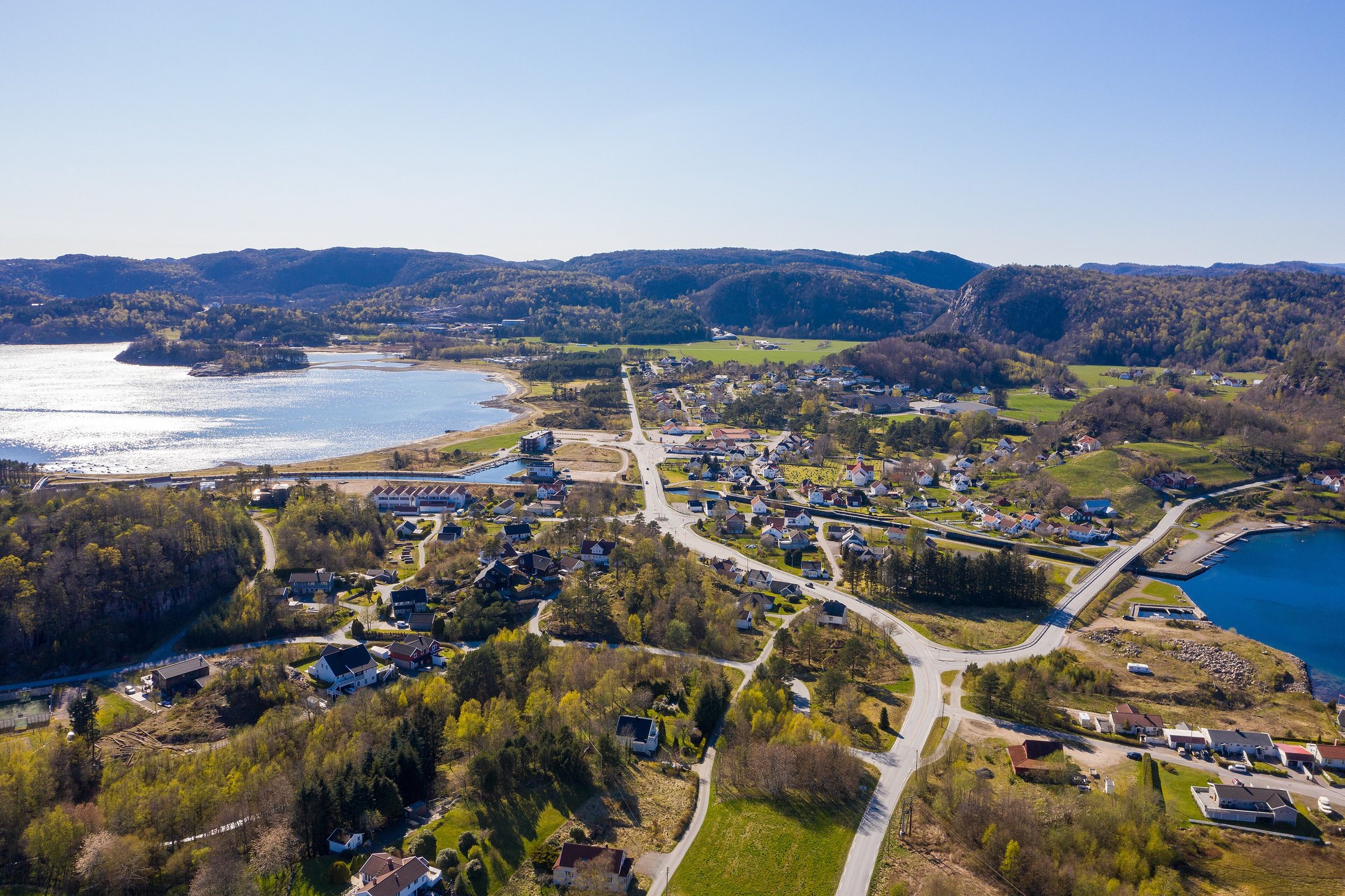
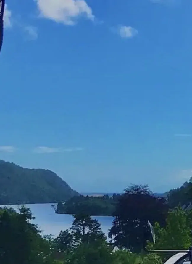
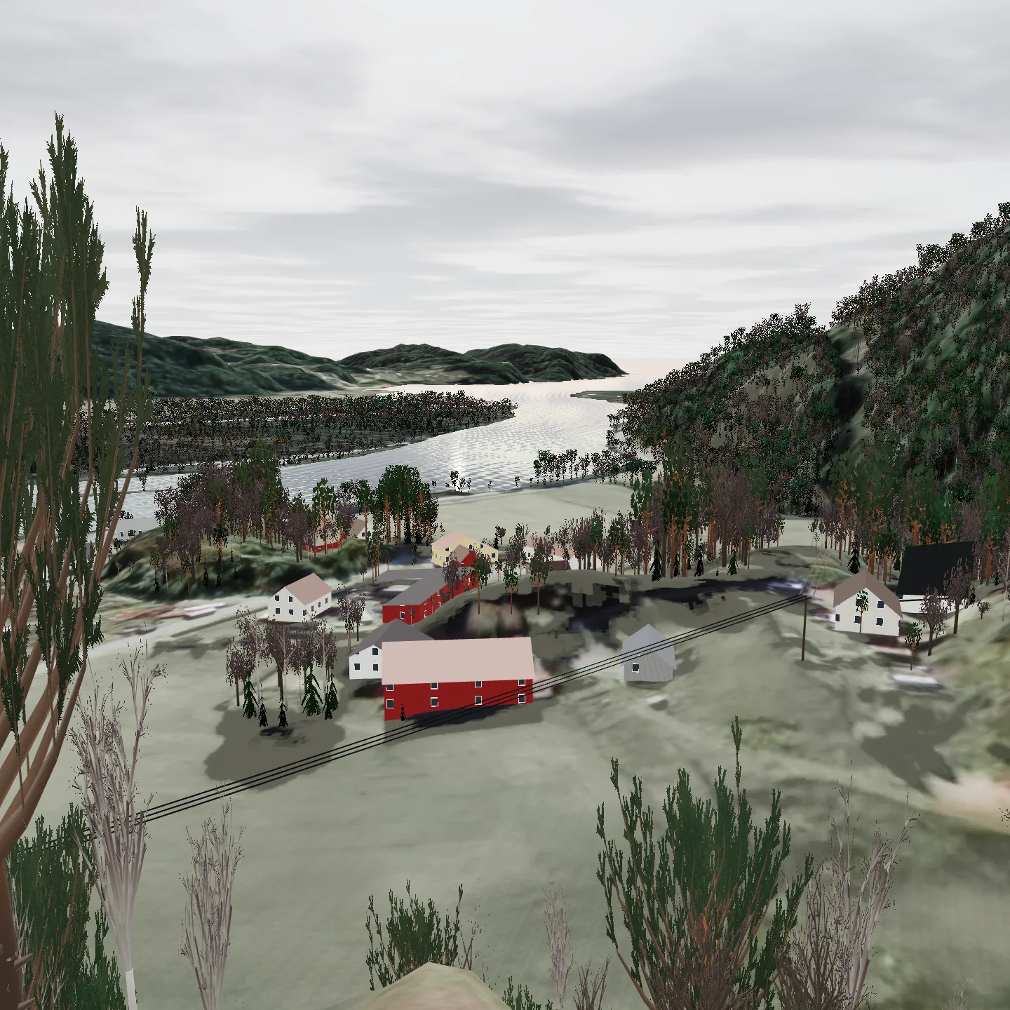
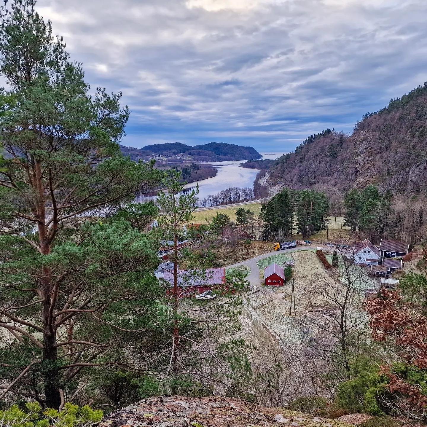
The view from the field, the photograph set against the model, and the area around Sniksfjorden. The photos of the view were taken from the neighbouring plot, a little lower than the field; the photos of the fjord, Snig, Vigeland and the Audna were taken by others and shared under a free licence. Every photo says who took it.
From the field to the sea
From Knotten the eye runs south along the Audna, out Sniksfjorden and on to open sea. That is not a promise, it is a sight line, computed from the terrain in every degree around the horizon.
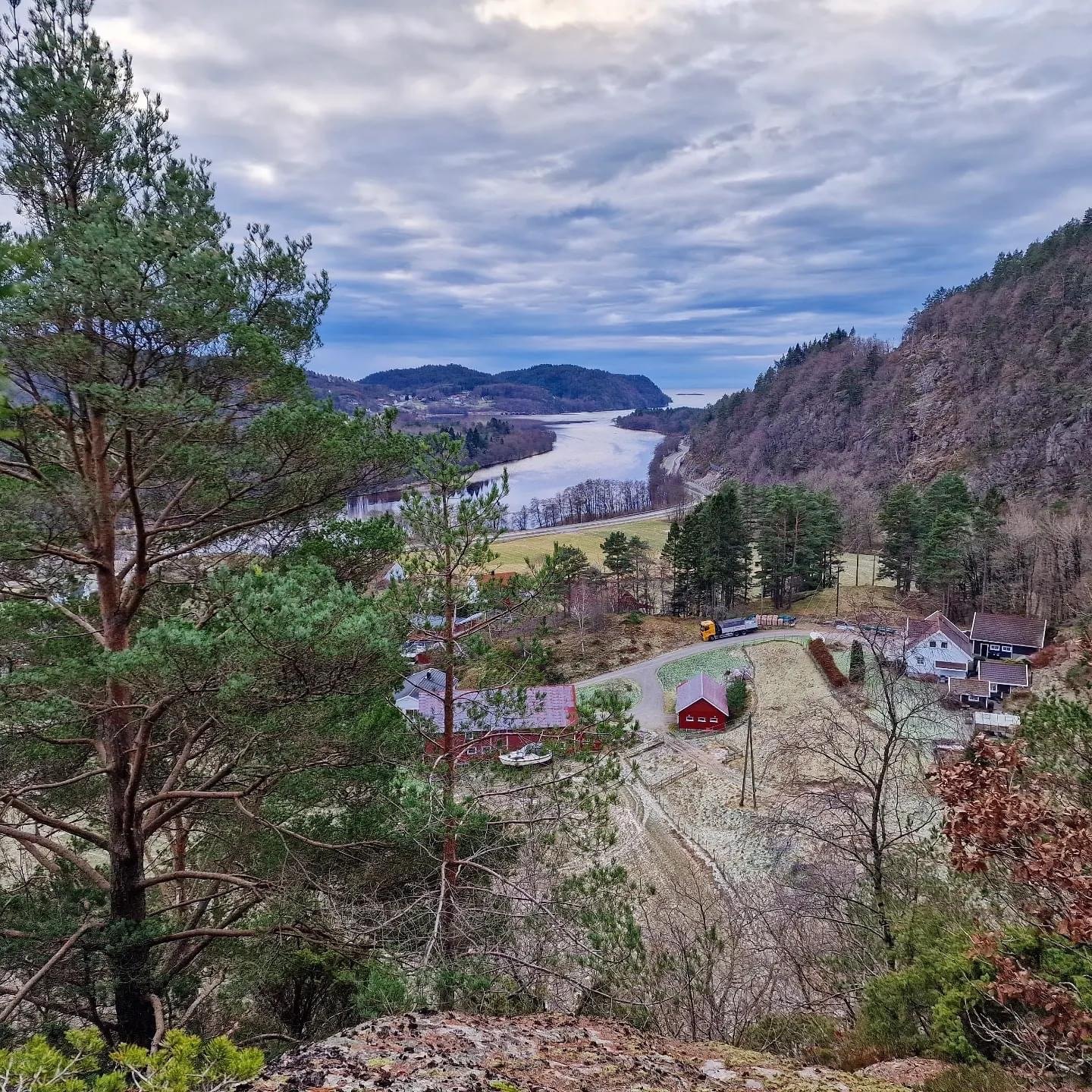
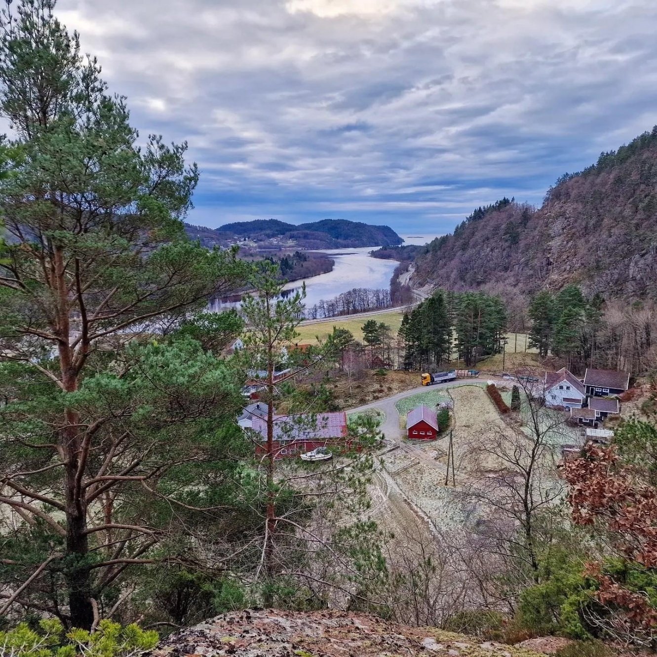
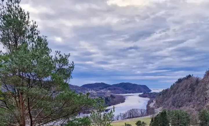
Photograph against model
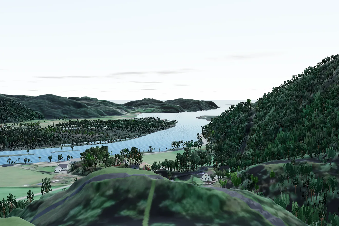
The neighbour's grill hut sits on the edge of the hill east of the field. The photograph from there shows the farm, the river bend and the fjord. The model camera stands on the same point. Drag the divider, or use the arrow keys.
The sight corridor
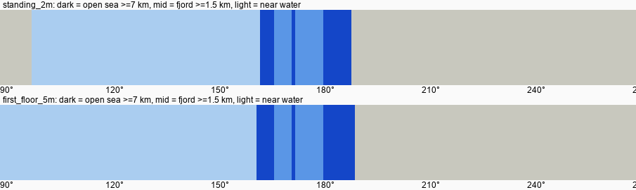
Each stripe is one degree. Dark blue: the sight line reaches water beyond 7 km, which is open sea. From the highest point of the property, at living-room height, the corridor is 164 to 189 degrees (computed).
The fjord, the river and the villages around
Knotten lies near the mouth of the Audna, where the river meets Sniksfjorden at Snig. Vigeland is a few kilometres north-east, and county road 460 runs south through Spangereid to Lindesnes lighthouse.