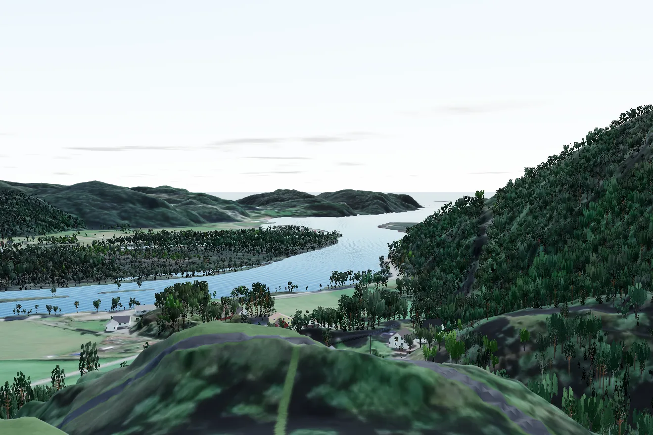
The view
From Knotten the eye runs south along the Audna, out Sniksfjorden and on to open sea. That is not a promise, it is a sight line, computed from the terrain in every degree around the horizon.
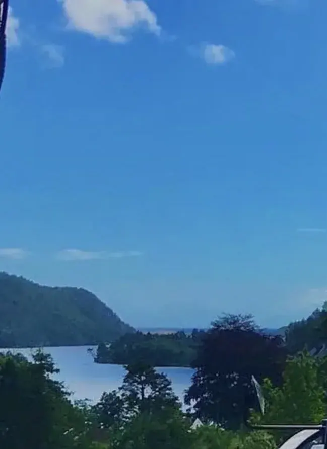
26°
Corridor to open sea
From the highest point, 164 to 189 degrees, the website's model, 2026-09-05 (provisional)
30plots
Plots with open sea in view, in the model
View analysis per plot with the neighbouring houses in place, the website's model, 2026-09-30 (provisional)
88.5m a.s.l.
Løkkeheia behind the field
Map from the project owner (Norkart), 2026-09
Photograph against model
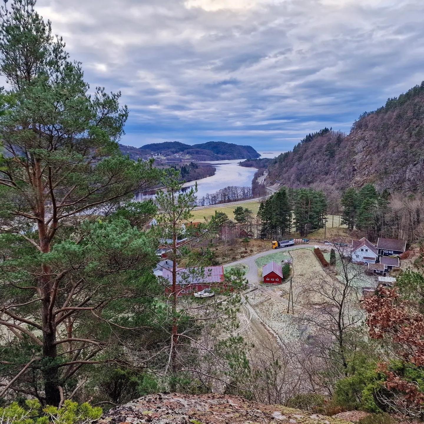
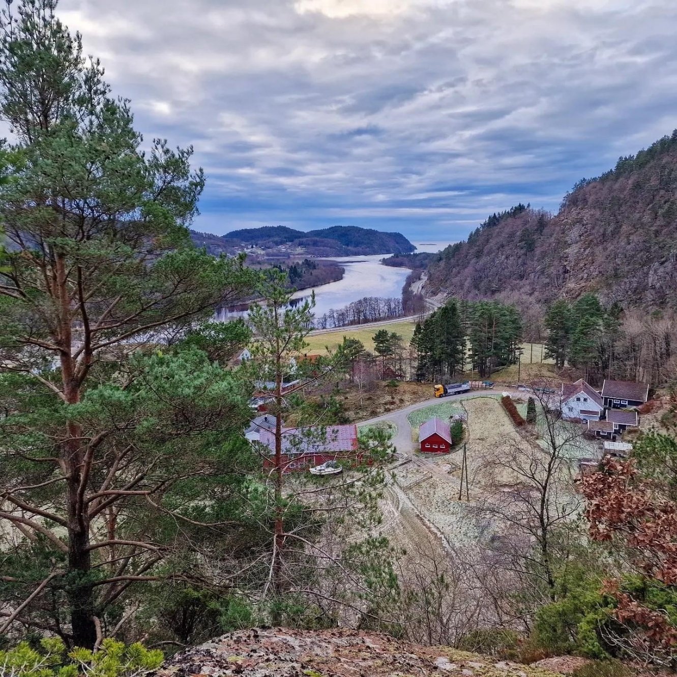
The neighbour's grill hut sits on the edge of the hill east of the field. The photograph from there shows the farm, the river bend and the fjord. The model camera stands on the same point. Drag the divider.
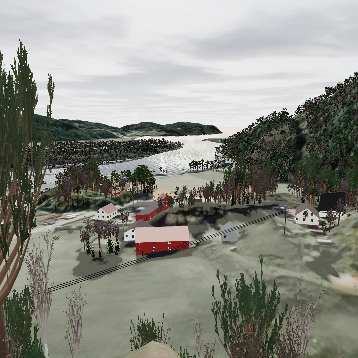
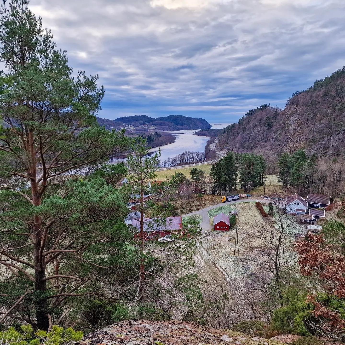
Photograph
Model
The sight corridor
Each stripe is one degree. Dark blue: the sight line reaches water beyond 7 km, which is open sea. From the highest point of the property, at living-room height, the corridor is 164 to 189 degrees (computed).
Standing, 2 m above the ground
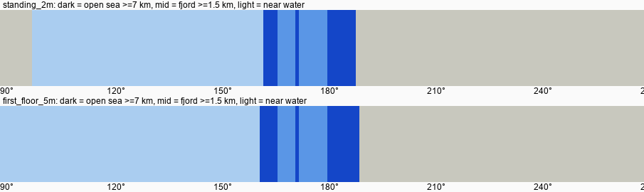
First floor, 5 m above the ground
Dark blue: open sea, at least 7 km away. Mid blue: fjord, at least 1.5 km away. Light blue: water close to land. Grey: no water. The numbers are compass bearings in degrees.
Kartverket DTM 1 m, terrarium 20 and 80 m, refraction k = 1.17. Computed 2026-09-05.